Map Viewer
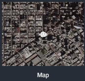
The Map Viewer displays the robot’s position on a geographic map using GPS or other localization data. It helps operators answer “where is the robot now?” at a glance.
Use it alongside the 3D Viewer and Charts to correlate position with environment and metrics.
Configuration
- Position / GPS Stream: Select the localization stream that provides latitude/longitude (or equivalent) information.