Maps (3D Viewer)
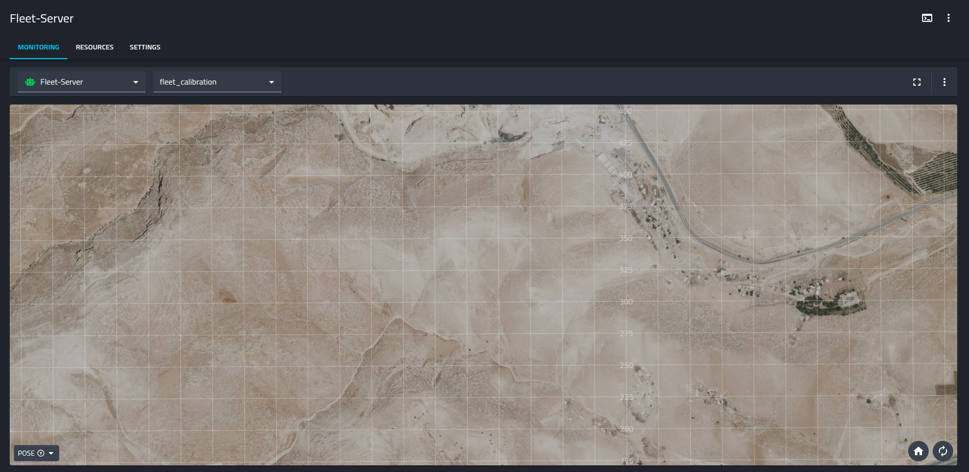
The 3D Viewer supports visualizing map tiles and aerial imagery directly within the 3D scene. This provides essential environmental context for monitoring fleet operations, allowing you to overlay robot positions onto real-world geography.
Supported streams
Supported streams
The viewer supports visualizing data from standard ROS message types, including:
- NavSatFix: For global positioning coordinates.
- Image / CompressedImage: For projecting map tiles, satellite imagery, or floor plans onto the scene.
Configuration
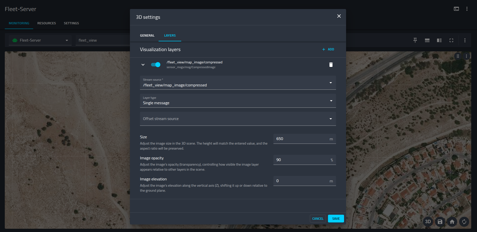
To configure a map layer, open the 3D settings and navigate to the LAYERS tab. You can add a new visualization layer and configure it using the parameters shown below:
Layer Settings
- Stream source: Select the ROS topic containing the map image (e.g.,
/fleet_view/map_image/compressed). - Layer type: For static maps or tiles that do not require high-frequency updates, select Single message.
- Size: Defines the physical size of the image within the 3D scene in meters. This value sets the height of the image, while the aspect ratio is preserved automatically.
- Image opacity: Adjusts the transparency of the map layer (0-100%). Lowering opacity is useful when you need to see the grid or other underlying layers.
- Image elevation: Offsets the image along the vertical (Z) axis.
- Tip: Setting a slight elevation (e.g.,
0or slightly higher if multiple layers exist) helps prevent "Z-fighting" (flickering) between the map and the ground plane.