GPS (3D Viewer)
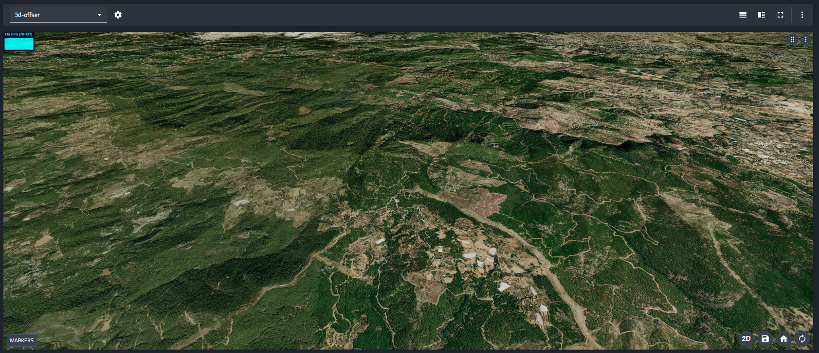
The 3D Viewer can visualize high-resolution map data based on global positioning system (GPS) coordinates. This feature utilizes MapTiler to render accurate satellite imagery or street maps corresponding to the robot's real-time geographic location.
When a valid NavSatFix stream is detected, the viewer automatically fetches and displays the relevant map tiles, allowing you to monitor the robot's position within a real-world context.
Configuration
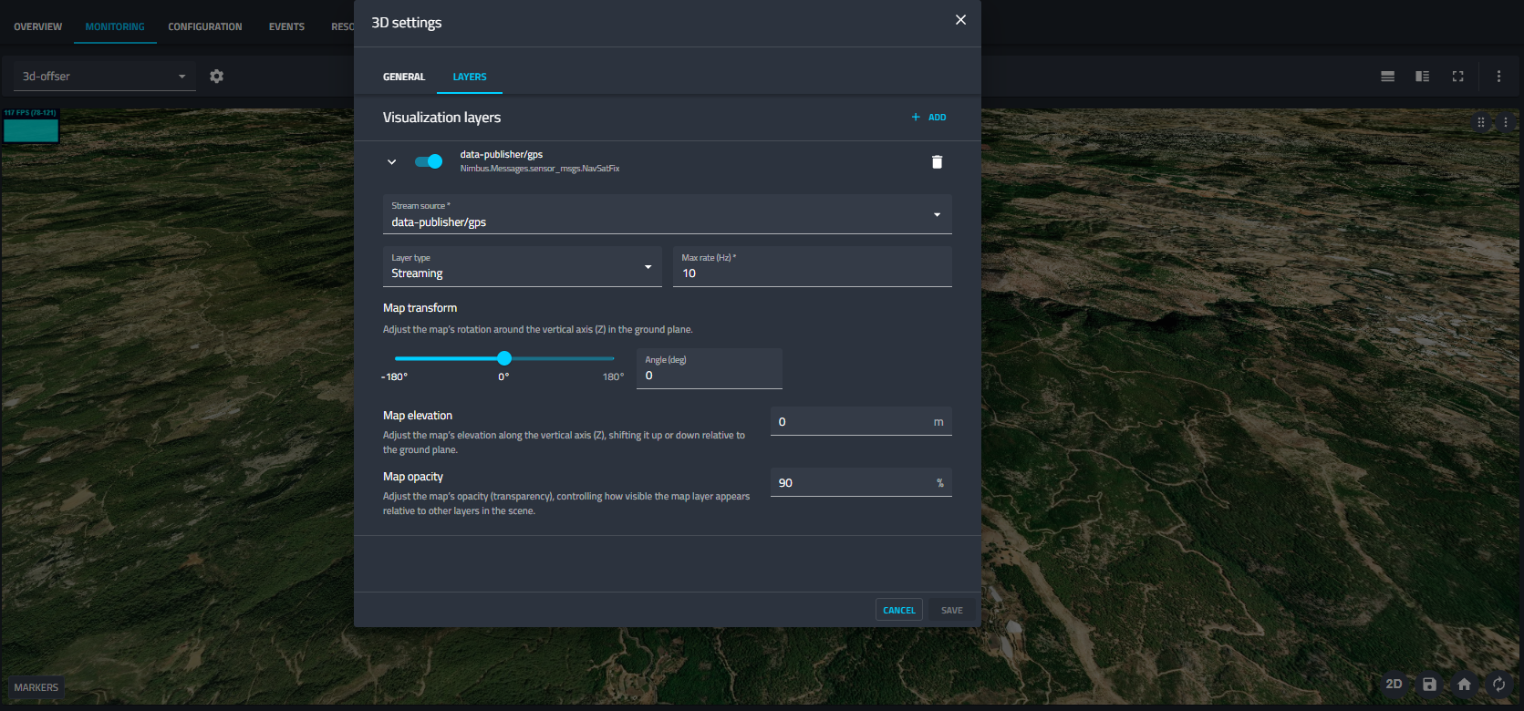
To enable GPS-based mapping, open the 3D settings dialog and select the LAYERS tab. Add a new layer and configure the NavSatFix settings as shown below:
Layer Settings
- Stream source: Select the ROS topic providing the GPS data (e.g.,
data-publisher/gps). The expected message type issensor_msgs/NavSatFix. - Layer type: Set this to Streaming to ensure the map updates dynamically as the robot travels to new coordinates.
- Max rate (Hz): Defines the update frequency for the stream (e.g.,
10Hz). Lowering this value can help improve performance if bandwidth is limited.
Map Transform & Appearance
These settings allow you to align the map visualization with your robot's local coordinate system and adjust its visual properties
- Map transform (Rotation):
- Angle (deg): Adjusts the rotation of the map around the vertical (Z) axis.
- Usage: Use this to align the map's "North" with the "North" of your robot's local odometry frame. If your robot's path appears rotated relative to the satellite image, adjust this slider to correct the alignment.
- Map elevation:
- Offsets the map plane along the vertical (Z) axis in meters.
- Tip: Adjust this slightly (e.g.,
0or-0.1) to prevent "Z-fighting" (flickering) if the map overlaps with other ground layers or grid visualizations.
- Map opacity:
- Controls the transparency of the satellite imagery (0-100%).
- Reducing opacity is useful when you want to see the underlying grid or other simulation markers clearly while maintaining geographic context.